Modern cities face complex challenges—rapid urbanization, resource constraints, and climate pressure. City planning models have become the backbone of effective urban development, combining data analytics, artificial intelligence, and digital simulation to shape livable, sustainable cities for future generations. By integrating technology and human insight, these models allow planners to visualize growth patterns, predict outcomes, and optimize design decisions before construction ever begins.
Market Trends and Data Driving City Planning Models
As global urban populations are projected to reach nearly 70% by 2050, digital city planning tools have seen exponential growth. According to data from the United Nations and McKinsey’s Global Institute, cities adopting advanced modeling systems can reduce infrastructure costs by up to 25%, while improving energy efficiency and livability metrics. These platforms rely on geospatial data, Internet of Things (IoT) sensors, and 3D visualization to simulate everything from traffic patterns and zoning impacts to flood risk and air quality.
City planning models now combine environmental, economic, and social data into single, dynamic dashboards. These insights help planners design efficient transportation systems, predict real estate demand, and test sustainability strategies before implementing policy. This evolution marks a shift from static mapping to adaptive digital twins—urban replicas that update in real time with new data streams.
Core Technology Analysis of Modern Urban Planning Models
Digital twins, AI-driven predictive analytics, and parametric modeling form the core of today’s city planning ecosystem. Urban simulation tools like CityEngine, UrbanFootprint, and Bentley OpenCities leverage 3D modeling, cloud computing, and GIS to evaluate millions of potential design outcomes at once. These technologies assess how population growth, land use, and transport networks interact—helping policymakers identify ideal configurations for energy use, housing density, and mobility flow.
Machine learning analyzes historical and real-time data, revealing trends that humans might overlook. For instance, AI can detect pedestrian flow bottlenecks or pinpoint underutilized public spaces long before they become visible issues. Through continuous feedback, planners can improve sustainability goals while maintaining economic feasibility.
Competitor Comparison Matrix: Leading Urban Planning Platforms
| Model Platform | Key Advantages | Ratings | Use Cases |
|---|---|---|---|
| CityEngine | Procedural 3D modeling, scalable design automation | 4.8/5 | Smart city planning, zoning visualization |
| UrbanFootprint | Data-driven impact forecasting, sustainability focus | 4.7/5 | Policy modeling, environmental analysis |
| ArcGIS Urban | Real-time mapping and geospatial integration | 4.9/5 | Infrastructure planning, land use regulation |
| Bentley OpenCities | Digital twin management, utility coordination | 4.6/5 | Smart infrastructure and public utility systems |
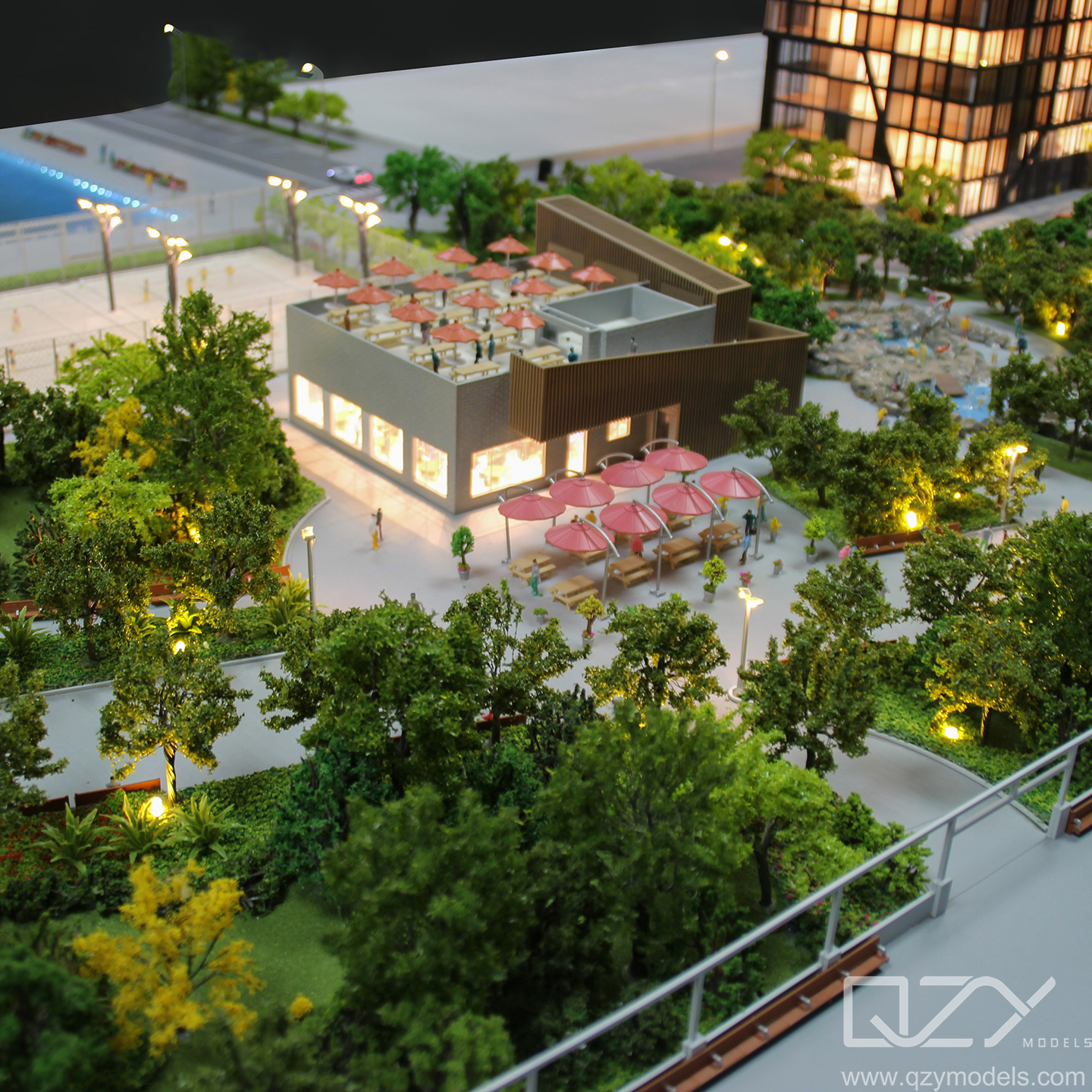
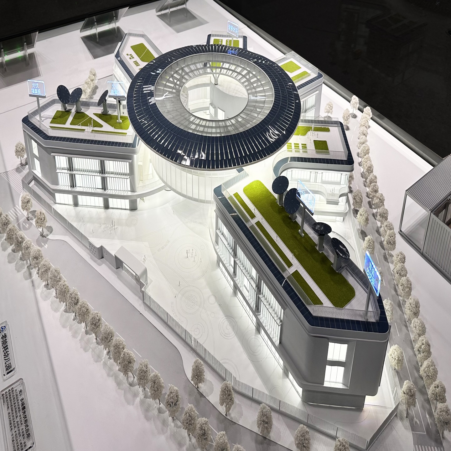
QZY Models, founded in 2013 in Shenzhen, China, is a leading professional team specializing in the design and production of high-quality architectural and industrial physical models. With over 20 years of expertise led by founder Richie Ren, we have completed thousands of projects for clients across 20+ countries, including world-renowned architects like Foster + Partners and developers such as Vanke and China Resources. Our global team operates branches in the UAE, Saudi Arabia, Egypt, and beyond. At QZY, we are dedicated to quality, innovation, and excellence—delivering every model with precision, pride, and professionalism.
Real User Cases and ROI Impact
Cities like Singapore, Dubai, and Helsinki are redefining efficiency using planning models that merge digital twins with IoT networks. Singapore’s Virtual Singapore platform allows city officials to test new policies, simulate emergency responses, and optimize resource distribution across districts. As a result, the city reports a 30% improvement in energy efficiency and stronger resilience against extreme weather.
For developers, the ROI is clear: early-stage planning accuracy reduces redesign costs, shortens approval cycles, and boosts investor confidence. For example, using a predictive urban model, a major European housing project trimmed construction time by 20% while raising resident satisfaction scores through better green space integration.
Market Adoption and Industry Shifts
Urban planners increasingly rely on collaborative, open-source modeling frameworks. The industry’s shift toward interoperability makes it easier for governments, architects, and developers to co-create 3D environments using shared datasets. This reduces friction between stakeholders and aligns long-term development goals.
With ESG (Environmental, Social, Governance) principles becoming a cornerstone of global real estate strategies, planning models help identify social equity gaps, carbon emission hotspots, and public health impacts—driving transparent, data-based decision-making.
Future Trends in City Planning and Smart Growth
The next generation of city planning models will merge augmented reality, real-time data, and generative AI to design adaptive, human-centric urban layouts. Digital models won’t just simulate cities—they’ll continuously evolve with live data from satellites, vehicles, and citizen devices. Expect to see self-updating zoning maps, resilient infrastructure simulations, and carbon-neutral urban prototypes becoming standard practice by 2030.
Emerging economies will adopt these tools to leapfrog traditional development hurdles, creating efficient cities from the ground up. New metrics like “urban livability scores” and “social well-being indexes” will drive design priorities, ensuring that cities evolve toward health, equity, and economic inclusion.
Relevant FAQs About City Planning Models
What is a city planning model?
It’s a digital or physical system used to simulate, analyze, and optimize urban design, infrastructure, and policy decisions for sustainable growth.
How do city planning models support smart cities?
They integrate IoT data, AI analytics, and visualization to monitor real-time urban functions, enabling responsive city governance and energy optimization.
Are physical models still relevant in the digital age?
Yes. Physical architectural models complement digital tools by offering tangible visualization and accurate spatial scaling during stakeholder presentations and design reviews.
Three-Level Conversion Funnel CTA
For urban planners, developers, and government agencies aiming to transform cities into data-driven, sustainable ecosystems, adopting advanced city planning models is no longer optional—it’s essential for smart growth and global competitiveness. Begin by integrating real-time modeling into your planning workflow, evolve toward digital twin ecosystems, and ultimately achieve a fully adaptive smart city infrastructure that ensures balanced economic, environmental, and social progress.