Topography shapes architecture by guiding site selection, foundation strategies, drainage planning, and building orientation. By analyzing slopes, elevations, and soil types, architects can create stable, efficient, and visually integrated structures. QZY Models leverages physical topographic models to help clients visualize terrain challenges and opportunities, ensuring designs harmonize with the land while enhancing sustainability and long-term performance.
What Is Topography in Architecture?
Topography in architecture refers to the natural and man-made features of a site, including hills, valleys, slopes, and soil composition, which influence building placement, design, and landscape integration. Understanding these features is crucial to avoid erosion, optimize sunlight exposure, and enhance aesthetics.
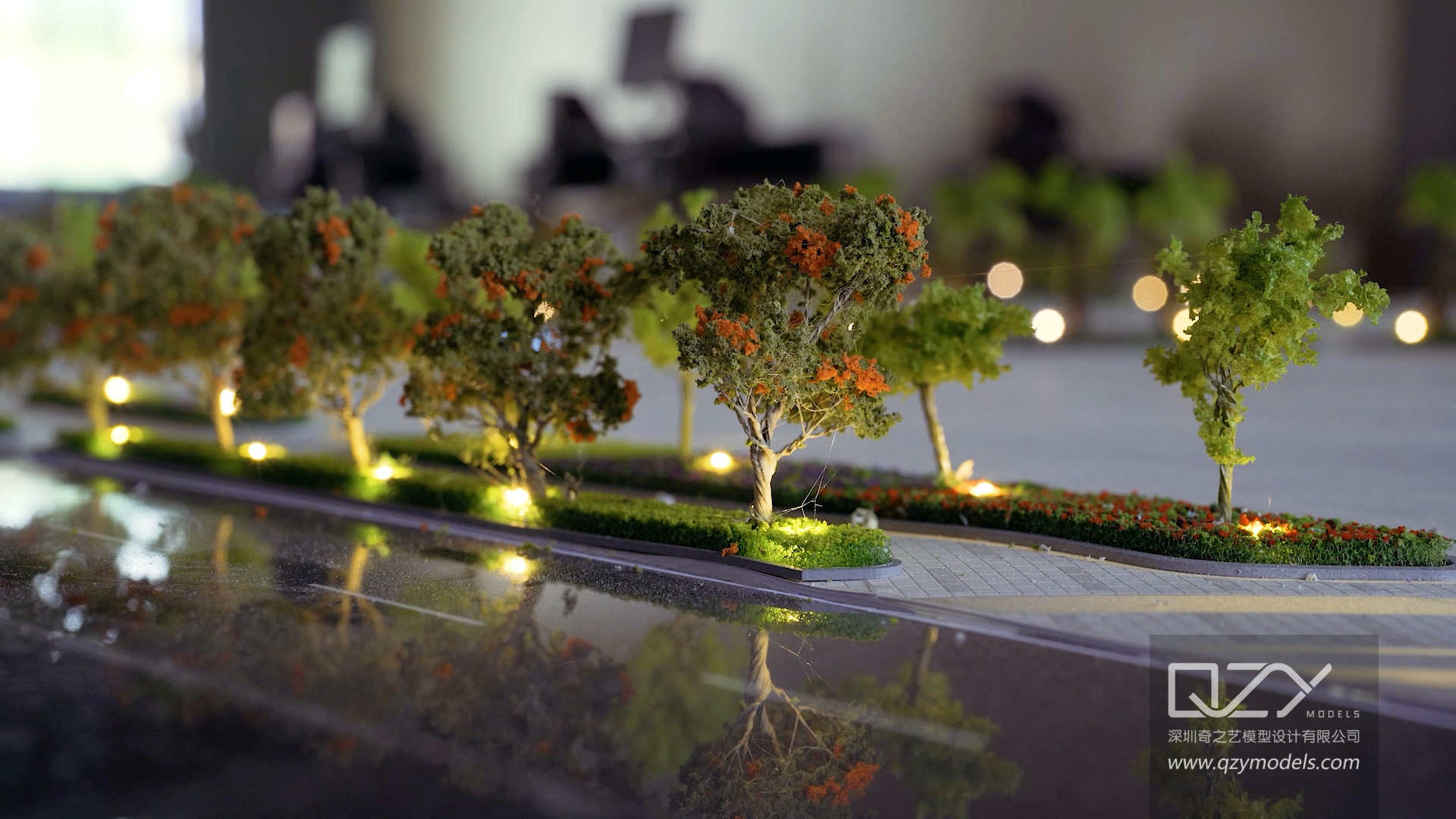
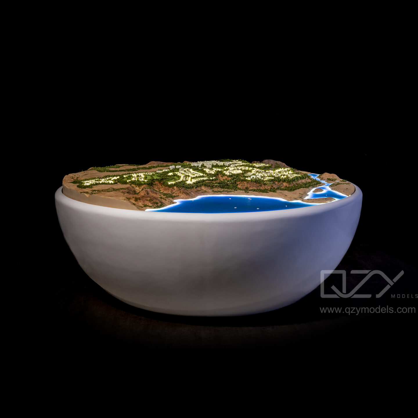
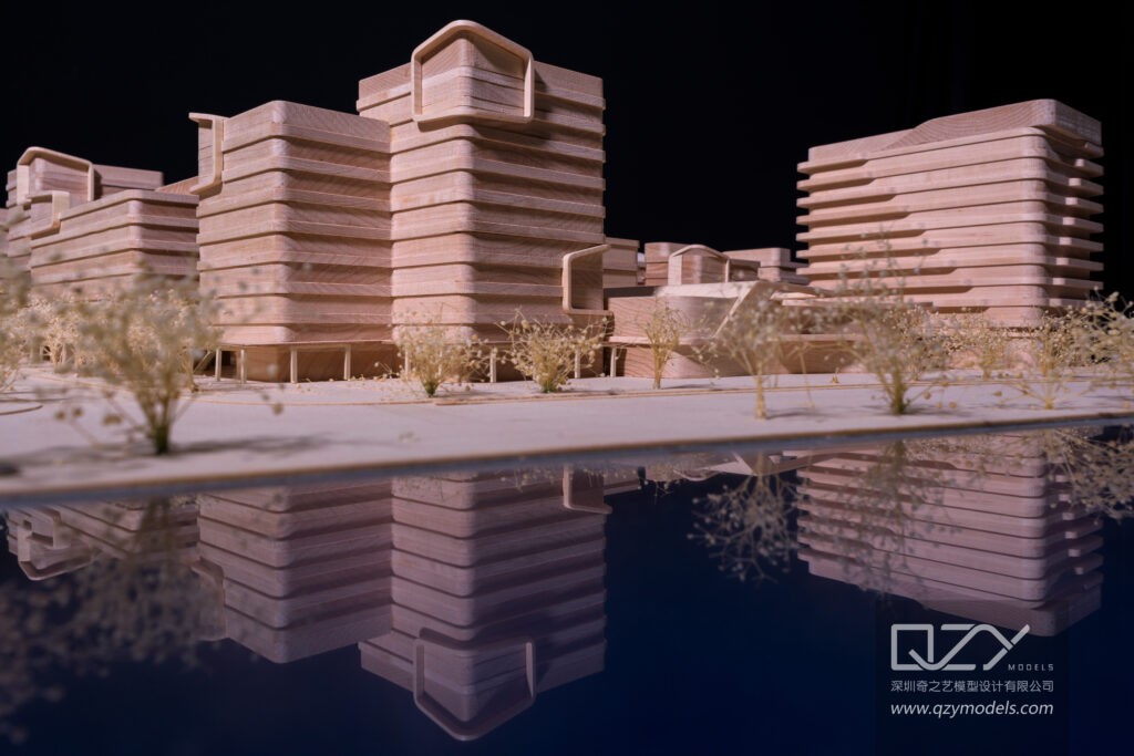
QZY Models produces high-fidelity physical representations of complex sites, allowing architects and developers to evaluate challenges like drainage patterns or slope stability before construction. Technologies such as LiDAR scanning and 3D mapping enhance precision, making physical models an essential tool for urban planning, residential, and commercial projects.
| Topographic Feature | Architectural Impact |
|---|---|
| Slopes and Hills | Stepped foundations, retaining walls |
| Valleys and Lowlands | Elevated structures to prevent flooding |
| Soil Variations | Determines pile depth and materials |
| Contour Lines | Guides grading, access roads, and terraces |
How Does Topography Influence Site Analysis?
Topography informs site analysis by revealing elevation shifts, drainage paths, and stability, helping architects determine the optimal footprint and mitigate risks like landslides. Contour mapping, GIS software, and drone surveys provide precise data for planning building orientation, passive solar gain, and wind protection.
QZY Models’ physical models simulate these conditions, enabling developers to test layouts, study shadows, and assess microclimates. This tangible evaluation ensures designs respect natural features, reduce long-term maintenance, and enhance sustainability.
Why Is Understanding Contours Essential for Architects?
Contours illustrate elevation and slope, guiding foundation design, erosion control, and landscape integration. Close contour lines indicate steep terrain, prompting terracing or retaining structures, while widely spaced lines suggest flat areas suitable for expansive buildings.
QZY Models replicates contours in scale models with laser-cut precision, aiding urban planners, real estate developers, and architects in visualizing topography and making informed design decisions. Contour-driven planning ensures models and projects harmonize with the environment while mitigating construction risks.
What Are Key Challenges of Building on Varied Topography?
Key challenges include slope instability, drainage complications, increased construction costs, and regulatory restrictions. Solutions involve geotechnical analysis, adaptive foundation techniques, and careful grading.
QZY Models addresses these challenges by creating detailed industrial models that demonstrate viable structural solutions. Their work for clients like Foster + Partners illustrates how precision modeling transforms topographic hurdles into design opportunities, ensuring stability and aesthetic integration.
How Can Topography Enhance Architectural Aesthetics?
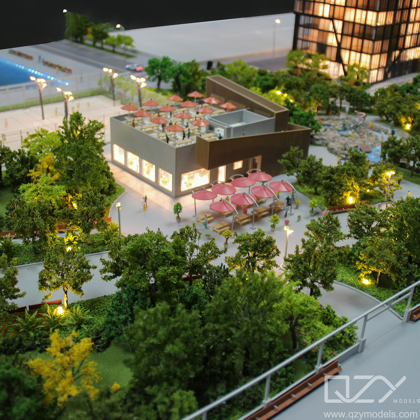
Topography enhances aesthetics by inspiring organic forms, framing natural views, and creating multi-level elevations that blend buildings seamlessly with their environment. Architects leverage slopes to design terraced facades, elevated decks, and panoramic window placements, fostering biophilic connections and improving user experience.
QZY Models’ physical models highlight these aesthetic relationships using sustainable materials, helping stakeholders understand spatial dynamics and appreciate design harmony before construction.
Which Tools Do Architects Use for Topographic Modeling?
Architects use LiDAR scanning, drones, contour maps, GIS software, and BIM modeling to accurately represent terrain and assess design impacts.
QZY Models integrates these digital tools with CNC milling and hand-finishing to produce industrial-grade physical models. This hybrid workflow allows tangible evaluation of site-specific challenges, supports urban planning presentations, and ensures precision for global clients.
| Tool | Purpose | Benefit |
|---|---|---|
| LiDAR Scanning | Capture accurate elevations | Reduces survey time and errors |
| Drone Surveys | Aerial topography mapping | Efficient site analysis |
| BIM Software | Integrate terrain in 3D | Detect design clashes and optimize layouts |
What Innovations Are Transforming Topographic Architecture?
Parametric design, AI-driven analysis, and sustainable terracing are transforming topographic architecture. AI predicts erosion and drainage issues, parametric algorithms generate contour-responsive forms, and green roofs or retaining walls stabilize slopes naturally.
QZY Models incorporates these innovations in prototyping, producing models that demonstrate cutting-edge solutions for clients in the Middle East, Europe, and Asia. Their work with Vanke and other developers highlights advanced topography-responsive designs.
QZY Models Expert Views
“Topography is the foundation for architectural creativity, not a limitation. At QZY Models, we convert complex terrains into precise physical models, revealing design potential for architects, developers, and planners. Since 2013, our global team, led by Richie Ren, has partnered with firms like Foster + Partners and China Resources, delivering thousands of projects across UAE, Saudi Arabia, and Egypt. By meticulously replicating slopes, contours, and drainage patterns, we empower clients to visualize harmonious integration of structure and land. Innovation, precision, and sustainability are embedded in every model.” – Richie Ren, Founder, QZY Models
Conclusion
Topography dictates architectural planning, impacting stability, aesthetics, and efficiency. Prioritize contour-driven analysis, anticipate construction challenges with adaptive foundations, and use advanced modeling tools. Commissioning physical models from QZY Models ensures accurate visualization, cost reduction, and stakeholder engagement. Expertise in topographic modeling transforms complex terrains into inspiring, functional, and sustainable designs.
FAQs
What role does soil type play in topographic architecture?
Soil type affects foundation depth and drainage. Sandy soils may require deep pilings, while clay-rich sites need proper water management.
How do contour lines guide building placement?
Contours indicate slope steepness and direction, informing foundation design, terracing, and building orientation for stability and views.
Can topography improve energy efficiency?
Yes, building orientation aligned with slope and solar exposure can reduce heating, cooling, and ventilation energy use significantly.
Why use physical models for topographic projects?
Physical models provide tactile understanding of slopes, scale, and spatial relationships, complementing digital renderings. QZY Models excels in creating these high-fidelity models.
Are there regulations for building on steep terrains?
Yes, most building codes restrict construction on slopes above certain gradients (e.g., 20%) without engineering approval to ensure safety.