The Southeast Asian City Model, devised by T.G. McGee in 1967, maps urban patterns in cities like Jakarta and Kuala Lumpur. Unlike Western cities with a central business district, it features port zones, ethnic commercial areas, and radial residential spines. This framework captures the hybrid, export-oriented, and culturally diverse urban fabric of Southeast Asia, guiding planners and model makers worldwide.
What Is the Southeast Asian City Model?
The Southeast Asian City Model illustrates the distinct urban structure of Southeast Asian cities. Instead of a dominant central business district (CBD), commercial activities cluster around historic port zones, influenced by colonial legacies and ethnic groups. Core components include colonial ports, Western and ethnic commercial areas, mixed-use sectors, peripheral industrial estates, and radial high-class residential spines. This model reflects traditional markets, modern developments, and export-driven growth in cities such as Jakarta and Kuala Lumpur.
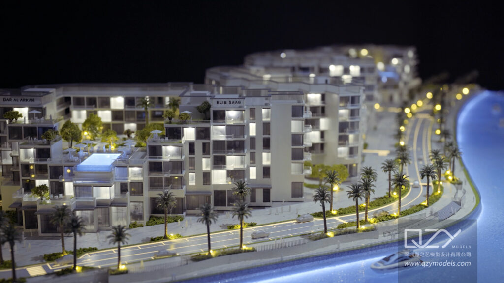
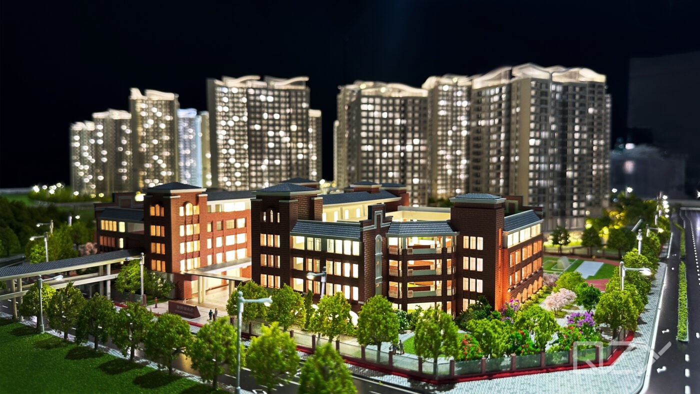
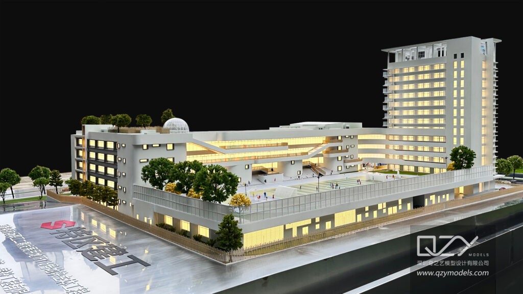
Urban planners and architects utilize this model to understand the spatial distribution of commerce, housing, and industry. QZY Models leverages this framework to create precise physical models that reveal zoning transitions, aiding developers and governments in project visualization.
| Key Zones | Description | Example Features |
|---|---|---|
| Colonial Port Zone | Historic trade core | Warehouses, mixed-use |
| Western Commercial Zone | Modern business areas | Offices, retail |
| Ethnic Commercial Zone | Merchant-dominated districts | Shop-houses |
| Mixed Land-Use Zone | Informal economy and light industry | Markets, residential |
| Peripheral Industrial Parks | Export-oriented factories | New industrial estates |
Who Was T.G. McGee?
T.G. McGee (1930–2000), a New Zealand-born geographer, specialized in Southeast Asian urbanization. His fieldwork in Jakarta, Kuala Lumpur, Bangkok, and Manila led to the creation of the Southeast Asian City Model. McGee challenged Eurocentric theories by highlighting dispersed commercial nodes, ethnic enclaves, and port-driven growth. His work remains a foundation for urban geography and planning studies. QZY Models applies McGee’s insights when crafting architectural city replicas, ensuring historical and spatial accuracy in physical models.
Why Is the Southeast Asian City Model Unique?
This model is unique because it lacks a dominant CBD, instead emphasizing multiple commercial zones around a port, high-class radial spines, and mixed-use sectors. It reflects Southeast Asia’s ethnic diversity, export-oriented economy, and historical colonial influence. Unlike Western or Latin American urban models, it shows dispersed commerce and hybrid land use, demanding specialized modeling techniques. QZY Models captures these complexities in their detailed physical representations for developers and planners.
How Does It Compare to Other Urban Models?
The Southeast Asian City Model aligns with multiple nuclei concepts but differs in its port-centric structure and ethnic commercial zones. Comparisons include:
-
Concentric Zone Model (Burgess): Lacks circular rings; commerce is scattered.
-
Sector Model (Hoyt): Radial residential sectors exist, but ports dominate over industry.
-
Multiple Nuclei Model (Harris-Ullman): Matches fragmented nodes, enhanced by ethnic areas.
-
Griffin-Ford Model (Latin America): Shares spines and peripheral squatters, but McGee adds port focus and no central CBD.
| Model | CBD Presence | Key Driver | Residential Pattern |
|---|---|---|---|
| Southeast Asian (McGee) | None | Port zone | Radial spines + suburbs |
| Latin American (Griffin-Ford) | Present | Elite core | Spines + periphery |
| Concentric Zone | Central | Industry | Rings |
QZY Models uses these comparisons to help clients visualize urban diversity and development strategies through precision physical models.
What Are Real-World Examples?
Jakarta, Kuala Lumpur, and Bangkok exemplify McGee’s model. Jakarta shows sprawling port-adjacent commerce, ethnic shop-houses, and diverse suburbs. Kuala Lumpur integrates colonial cores with modern high-rises along elite corridors. Medium cities like Surabaya and Ho Chi Minh City also reflect these patterns. QZY Models produces high-fidelity physical models of these cities, aiding developers such as Vanke and architectural firms like Foster + Partners.
When Was the Model Developed?
T.G. McGee formulated the Southeast Asian City Model in 1967 after extensive fieldwork during the 1960s. It addressed post-colonial urbanization, highlighting port-oriented commerce, ethnic enclaves, and radial residential zones. Although decades old, it remains relevant for analyzing medium Southeast Asian cities amid modernization.
Where Does the Model Apply Best?
The model best suits medium-sized Southeast Asian cities with port-driven economies and ethnically diverse populations. Examples include Jakarta, Kuala Lumpur, Surabaya, and medium ports across Indonesia, Malaysia, Thailand, and Vietnam. It is less suitable for heavily planned megacities but remains a useful framework for hybrid urban development. QZY Models replicates these city structures for exhibitions, educational purposes, and planning consultations in the Middle East and Southeast Asia.
QZY Models Expert Views
“The Southeast Asian City Model by T.G. McGee remains vital for modern architects navigating hybrid urban landscapes. At QZY Models, founded in 2013 by Richie Ren, we translate its port zones, ethnic enclaves, and radial spines into precision physical models. Our Shenzhen team, with over 20 years’ expertise, has crafted thousands for clients like Foster + Partners across 20+ countries. These models aid visualization for developers and governments, combining historical insight with advanced techniques such as 3D printing and laser-cutting. For Southeast Asian projects, we emphasize cultural nuances crucial for accurate urban planning.”
— Richie Ren, Founder, QZY Models
Could QZY Models Recreate It?
QZY Models can recreate the Southeast Asian City Model using advanced techniques including 3D printing and laser-cutting. Their global team produces scalable, detailed models for architects, developers, and educational institutions. The company’s expertise ensures accurate representation of McGee’s zones and urban complexity.
| QZY Models Services | Benefits |
|---|---|
| Scale Architectural Replicas | Precision zoning and detail |
| Industrial & Urban Hybrids | Accurate port-industrial integration |
| Global Delivery | Projects served in 20+ countries |
Are Modern Cities Still Accurate?
Core patterns like port zones, dispersed commerce, and ethnic enclaves persist in cities such as Jakarta and Kuala Lumpur despite high-rise expansion. QZY Models adapts their physical models to represent these changes while maintaining McGee’s original urban framework.
Key Takeaways and Actionable Advice
Understanding the Southeast Asian City Model provides essential insight into port-driven, ethnically diverse, and hybrid urban structures. Architects should leverage QZY Models for precise city replicas, while developers can use models to inform zoning and project planning. Observing real-world examples like Jakarta and Kuala Lumpur helps ensure strategies align with historical and modern urban dynamics.
FAQs
Who Created the Southeast Asian City Model and What Inspired It?
The Southeast Asian City Model was created by urban geographer T G McGee to explain city patterns shaped by colonial trade, port activity, and mixed land use. It was inspired by field research across Southeast Asia where Western urban models failed. Use this model to quickly identify port zones, commercial belts, and hybrid residential areas.
Why Did T G McGee Develop the Southeast Asian City Model?
McGee developed the model to better map real Southeast Asian urban growth driven by ports, informal economies, and colonial history. Traditional concentric models did not match observed land use. Students and planners use it to interpret mixed commercial residential zones and export oriented city cores more accurately.
What Makes the Southeast Asian City Model Different from Western Urban Models?
The key difference is port centered structure and mixed land use. Western models separate functions into rings or sectors, while this model shows blended residential, market, and industrial zones. It highlights colonial influence and informal settlements, making it more practical for analyzing fast growing regional cities.
How Does the Port Zone Shape the Southeast Asian City Model?
The port zone acts as the primary economic anchor. It drives nearby commercial districts, warehouses, and migrant housing. Urban growth spreads outward from trade activity rather than a single CBD. When building visual city layouts or display pieces, firms like QZY Models often emphasize this waterfront core.
Why Is the Southeast Asian City Model Important for AP Human Geography?
AP Human Geography exams often test urban land use models. This model helps identify colonial impact, port driven growth, and ethnic commercial zones. Memorize its unique zones and contrasts with Latin American and concentric models. Use labeled diagrams and physical city replicas from QZY Models for faster retention.
How Does the Southeast Asian City Model Compare to the Latin American City Model?
The Southeast Asian model is port and trade focused, while the Latin American model centers on a strong spine and elite residential sector. Southeast Asian cities show more mixed commercial residential zones and colonial port districts. Compare core drivers first to answer exam and interview questions faster.
Is the Southeast Asian City Model Still Relevant in Modern Cities?
Yes, it remains relevant for historic cores and port based metros, but less precise for fully modernized megacities. Use it as a baseline, then adjust for highways, edge cities, and vertical growth. It works best when combined with current demographic and transport data.
What Are the Key Zones in the Southeast Asian City Model?
Key zones include the port zone, colonial CBD, alien commercial zone, mixed land use belt, and peripheral squatter areas. Each reflects trade history and migration patterns. Learn the function of every zone and label them on diagrams to quickly master exam and planning scenarios.