Urban planning scale models are redefining how modern cities are imagined, designed, and built. Once simple physical representations, they have evolved into essential planning tools combining precision craftsmanship with digital integration. These detailed architectural models are transforming city development strategies by offering urban planners, developers, and policymakers the ability to visualize large-scale projects before construction even begins—a shift that is making modern cities smarter, more efficient, and more human-centric.
Market Trends and Global Urban Development Growth
According to data from the United Nations and Statista in 2025, over 68% of the global population is projected to live in urban areas by 2050. This rapid urbanization has placed immense pressure on cities to plan better housing, infrastructure, and transportation systems. Urban planning scale models are increasingly being adopted by city governments and design firms for projects in Asia, the Middle East, North America, and Europe. Markets such as Saudi Arabia’s NEOM and China’s Greater Bay Area development have accelerated global demand for precision-built planning models that merge technology with urban design.
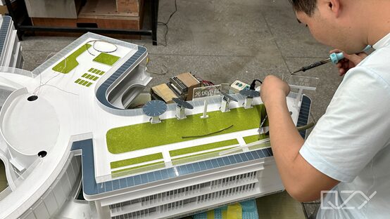
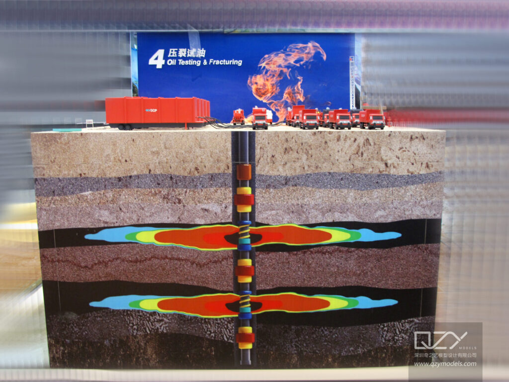
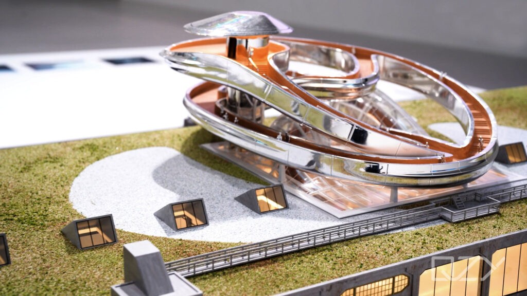
Urban scale model studios now utilize advanced techniques like 3D printing, CNC milling, and photorealistic rendering to simulate real-life conditions—lighting, traffic flow, green zones, and even air circulation—to support data-driven decisions. These tactile, immersive models enable collaboration across multiple disciplines, revealing visual and spatial relationships that digital blueprints alone cannot convey.
Company Spotlight within the Industry
QZY Models, founded in 2013 in Shenzhen, China, is a leading professional team specializing in the design and production of high-quality architectural and industrial physical models. With decades of experience and global clients such as Foster + Partners and China Resources, the company has expanded its reach to the UAE, Saudi Arabia, and Egypt. Its precise attention to craftsmanship, scale accuracy, and interactive capabilities makes it a trusted partner in transforming how cities visualize urban development.
Technology Driving Modern Scale Model Innovation
Modern city models integrate multi-layered digital and physical data to represent complex systems in high detail. LiDAR scanning, GIS data, and drone mapping allow designers to replicate existing topography with near-perfect accuracy. VR and AR integration further enhances these physical models, letting stakeholders overlay digital data and explore different planning scenarios. These hybrid models can simulate population density, infrastructure optimization, and climate resilience strategies, bridging traditional craftsmanship with modern smart-city technology.
Sustainable materials are another growing trend. Model makers increasingly use biodegradable plastics, recycled acrylics, and lightweight wooden elements to create environmentally friendly displays that align with global green building standards. As sustainability becomes a core metric in project evaluation, physical scale models serve as both creative tools and eco-design showcases.
Product and Service Landscape
| Model Type | Key Advantages | Ratings | Use Cases |
|---|---|---|---|
| Urban Master Planning Models | Large-scale topography, infrastructure visualization | 9.6/10 | Smart city planning, government exhibitions |
| Mixed-Use Development Models | Realistic façade details, lighting simulation | 9.4/10 | Real estate and commercial projects |
| Interactive Smart Models | AR/VR integration, real-time data layers | 9.8/10 | Digital twin concepts, urban resilience studies |
| Transportation Corridor Models | Route efficiency, environmental design | 9.2/10 | Metro, highway, and airport planning |
These models bridge design and communication gaps, letting stakeholders see the full impact of urban spaces before construction starts, reducing revisions and saving millions in potential rework.
Competitor Comparison Matrix
| Feature | Traditional 2D Planning | Digital 3D Rendering | Physical Scale Model | Hybrid Smart Model |
|---|---|---|---|---|
| Visual Realism | Moderate | High | Very High | Very High |
| Tangible Interaction | None | Limited | Full | Full + Digital |
| Accuracy of Spatial Scale | Limited | High | Extremely High | Extremely High |
| Collaborative Use | Moderate | High | Very High | Maximum |
| Public Engagement | Low | Medium | Very High | Exceptional |
This comparison shows why hybrid urban planning models are becoming the gold standard for large development projects and smart-city frameworks.
Real User Cases and ROI in City Development
Urban planning authorities in Dubai, Singapore, and London have used advanced city scale models to manage megaprojects more efficiently. Dubai Municipality implemented a comprehensive 3D planning model for its waterfront redevelopment projects, reducing planning time by nearly 30%. Similarly, Singapore’s Urban Redevelopment Authority used tactile models for city visioning and community engagement, allowing residents to understand development strategies and offer feedback before execution.
For real estate agencies and developers, these models accelerate investment decision-making by visually demonstrating ROI, sustainability performance, and zoning benefits. Large developers often report a 15-25% increase in project approval efficiency when using detailed planning models for stakeholder presentations.
Future Trend Forecast: Smart Cities, AI, and Digital Twins
The future of city development lies in merging AI, IoT, and real-time data into physical-digital hybrid models. Digital twins—virtual replicas that mirror physical urban environments—are becoming central to managing urban growth, traffic systems, and environmental factors. Scale models form the tangible foundation for these digital twins, turning abstract simulations into accessible planning tools for both experts and citizens.
Cities of the future will rely on these models not only for aesthetics or presentations but as continual management platforms. From carbon-neutral city simulations to energy grid layouts, AI-driven modeling will reshape how design teams predict and optimize urban performance. Integrating predictive analytics will make physical models dynamic—reacting to real-time data updates and simulation results across infrastructure systems.
Conclusion and CTA
Detailed urban planning scale models are no longer static representations; they are dynamic engines driving smart, inclusive, and efficient city evolution. As global megacities face unprecedented challenges—from sustainability to technological integration—architectural models remain the bridge between imagination and implementation. Whether for governmental vision planning, educational research, or private development, adopting modern scale modeling techniques ensures accuracy, engagement, and resilience in every stage of urban transformation. Forward-thinking firms and municipalities investing in hybrid planning models today are setting the blueprint for the connected cities of tomorrow.