Understanding Cities Before They Are Built
Introduction: The Moment a Plan Becomes Real
Urban planning rarely struggles with imagination. Most projects begin with strong ideas, supported by data, drawings, and increasingly sophisticated digital simulations. The challenge appears later—when those ideas must be understood by many different people, each with a different level of technical knowledge, and each responsible for decisions that carry long-term consequences.
At that point, representation becomes as important as design itself.
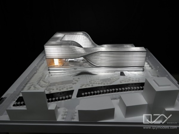
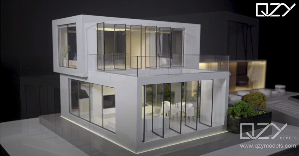
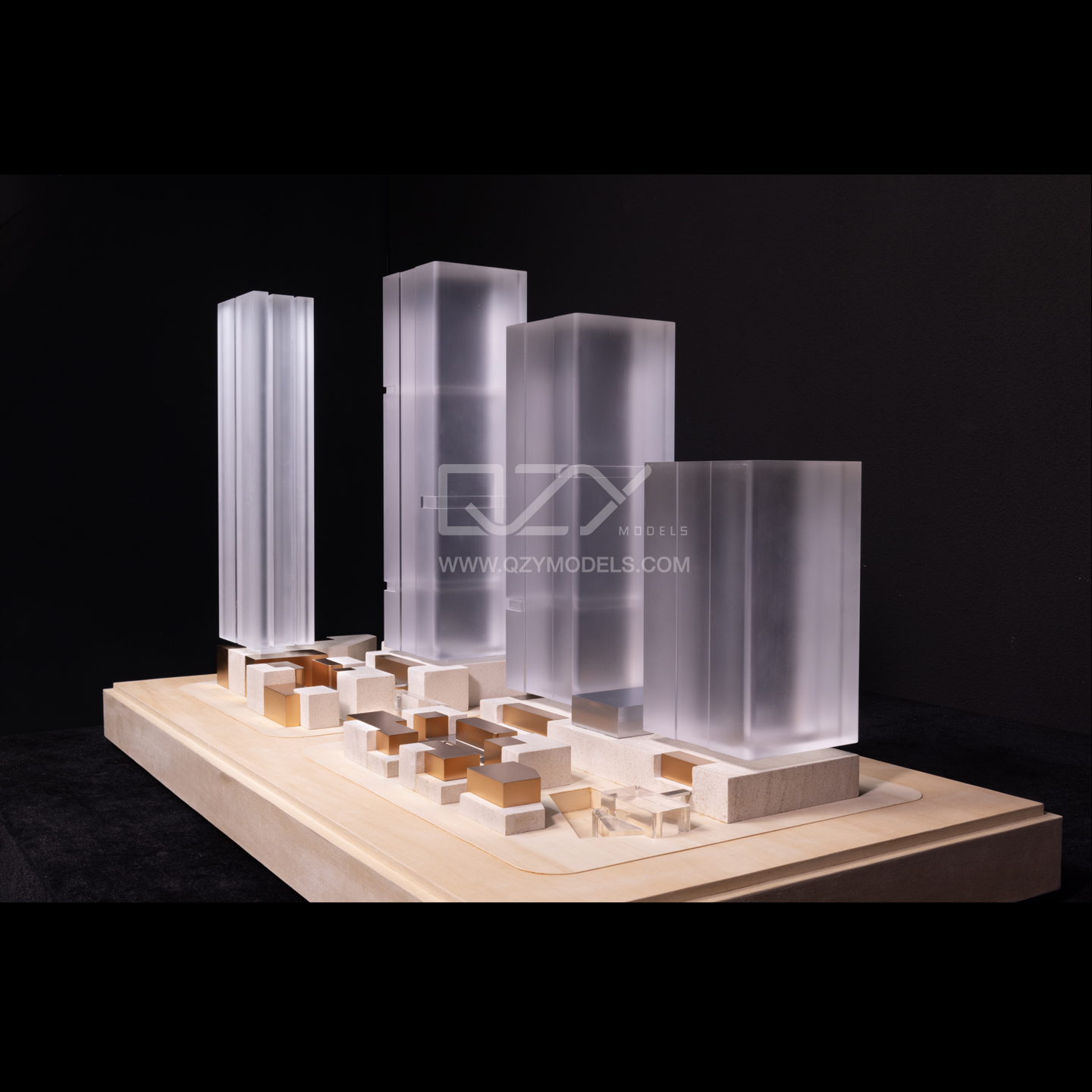
Urban planning scale models sit precisely at this intersection. They do not replace technical drawings or digital systems; instead, they translate them into something immediate and undeniable. What exists as layers of information on a screen becomes a single, coherent physical reality. Distances, density, hierarchy, and connections stop being abstract concepts and begin to read as something tangible.
This is where planning shifts—from interpretation to understanding.

When Drawings Stop Being Enough
There is a point in every large project where drawings, no matter how detailed, begin to lose their effectiveness. Plans can show alignment, sections can describe height, and renders can suggest atmosphere—but none of them present everything at once. They require the viewer to assemble the project mentally.
That process works well for trained professionals, but even then, it leaves room for misinterpretation. For non-technical stakeholders, the gap becomes even wider.
A physical model removes that burden entirely. It does not ask the viewer to interpret—it shows. The relationships between buildings, the spacing of streets, the presence or absence of open space, all become instantly legible. What might take several minutes to explain through drawings is often understood in a few seconds when seen in physical form.
The value here is not simplicity for its own sake, but clarity without translation.

The Way Scale Changes Judgment
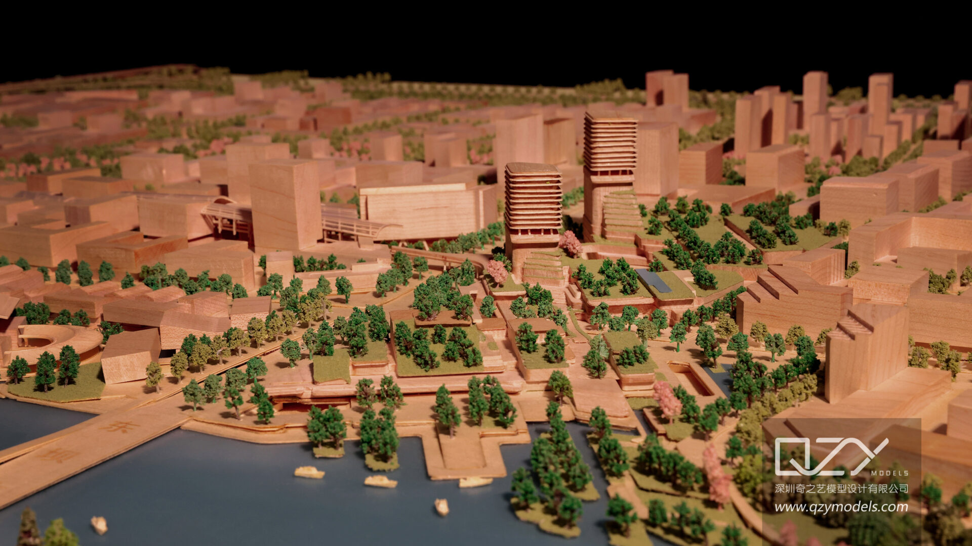
One of the most underestimated aspects of urban planning is how scale affects decision-making. On a screen, scale is fluid. A user can zoom in to study façade details, then zoom out to view an entire district. While this flexibility is powerful, it also separates detail from context.
In a physical model, everything exists together. A tall structure cannot be isolated from its surroundings. A dense cluster cannot be viewed without also seeing the pressure it places on adjacent space. Open areas either feel generous or insufficient—there is little room for ambiguity.
This simultaneous visibility forces a more honest evaluation. It becomes immediately clear when something is too dominant, too compressed, or too disconnected. Decisions are no longer made in isolation but in full awareness of their impact.
For planners and developers, this often leads to earlier adjustments and more confident outcomes.

I
Movement Becomes Visible, Not Theoretical
Urban plans are often filled with movement diagrams—lines indicating traffic flow, arrows suggesting pedestrian routes, networks describing connectivity. These are essential tools, but they remain conceptual.
A model brings movement into physical space.
When viewing a model, one begins to understand not just where movement happens, but how it feels. The alignment of roads, the positioning of intersections, and the relationship between buildings and circulation paths all become intuitive. It becomes easier to identify where movement is natural, where it is forced, and where it may fail altogether.
This shift—from diagram to spatial experience—changes the type of questions stakeholders ask. Instead of confirming whether a connection exists, they begin to question whether it actually works.

How Models Reshape Conversations
There is a noticeable shift in the tone of discussions when a physical model is introduced into a room. Conversations tend to become more focused, more grounded, and more practical.
Rather than speaking in general terms, people begin to reference specific areas. They point, compare, question, and propose changes directly against something visible. The discussion moves away from abstract language and toward spatial reasoning.
This is particularly important in projects involving multiple stakeholders. When architects, developers, authorities, and investors are all involved, alignment becomes difficult if each party is interpreting the project differently. A model establishes a shared reference that reduces that gap.
It does not just present the project—it anchors the conversation.
Explaining Time Through Space
Urban planning is rarely about a single moment. Most developments unfold over time, often in phases that span years or even decades. Communicating this progression is not always straightforward.
A model allows time to be understood spatially.
Future phases can be positioned within the present context. Expansion areas can be seen in relation to existing infrastructure. Even without additional explanation, it becomes easier to grasp how a project grows and evolves.
This ability to connect present and future within a single frame is particularly valuable in long-term planning discussions, where confidence depends on understanding not just what will be built, but how it will develop.

Where Digital Tools Fit
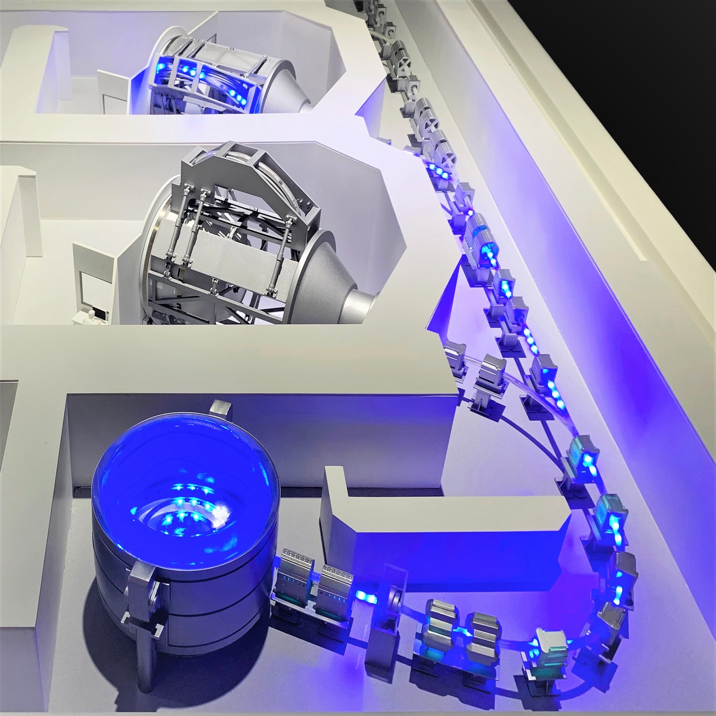
Digital systems have become indispensable in urban planning. Data-driven platforms, simulations, and visualization tools provide levels of analysis that physical models cannot replicate.
However, their strength lies in depth, not immediacy.
A physical model provides the first layer of understanding—the structure, the relationships, the overall logic of the plan. Digital tools then add layers of information: traffic data, zoning overlays, environmental analysis, or even augmented reality enhancements.
When combined effectively, the model becomes the foundation, and digital tools become extensions of it. One provides clarity; the other provides detail.

Built to Be Used, Not Just Displayed
Urban planning models are not static showpieces. They are working tools that move between environments—planning offices, government presentations, exhibitions, and investor meetings.
Because of this, their design must account for practical realities. They need to be durable, transportable, and adaptable. Large models are often constructed in sections, allowing them to be assembled, disassembled, and reconfigured as needed.
This functional aspect is often overlooked, but it plays a significant role in how effective a model is over time. A model that can be reused and repositioned becomes far more valuable than one that serves a single purpose.
Conclusion: Clarity at the Scale of a City
Urban planning operates at a level where complexity is unavoidable. The challenge is not eliminating that complexity, but making it understandable.
A well-crafted urban planning scale model does exactly that. It takes a system that exists across drawings, data, and projections, and brings it into a single, readable form. It allows people to see the consequences of decisions before they are made permanent.
In doing so, it changes the nature of planning itself—from something that must be interpreted, to something that can be clearly understood.
And at city scale, that difference is not just helpful—it is essential.
About QZY Models
QZY MODELS is a professional model-making company specializing in architectural scale models, industrial models, and urban planning models for global clients.
With more than 20 years of experience, the team provides complete services including:
architectural model design
model fabrication
international packaging and shipping
on-site installation support
These integrated services ensure that every model can be safely transported and efficiently presented anywhere in the world.
🌐 www.qzymodels.com
📧 [email protected]