Topographic and terrain models are fabricated using traditional handcrafting techniques and digital fabrication methods like 3D printing, CNC milling, and laser cutting. The choice depends on budget, scale, and required detail, with hybrid approaches combining digital precision and manual finishing for realistic, accurate models widely adopted in architectural and industrial contexts. Also check: Miniature Models Making
What Are the Key Digital Fabrication Techniques for Terrain Models?
Digital fabrication techniques utilize Digital Elevation Model (DEM) data to create precise terrain models. Popular methods include 3D printing—such as FDM for cost-effective layered contours and SLA/SLS for fine details—CNC routing, which carves terrain from solid blocks, and laser cutting that stacks contour layers from materials like plywood or acrylic. These processes produce geographically accurate and detailed models efficiently.
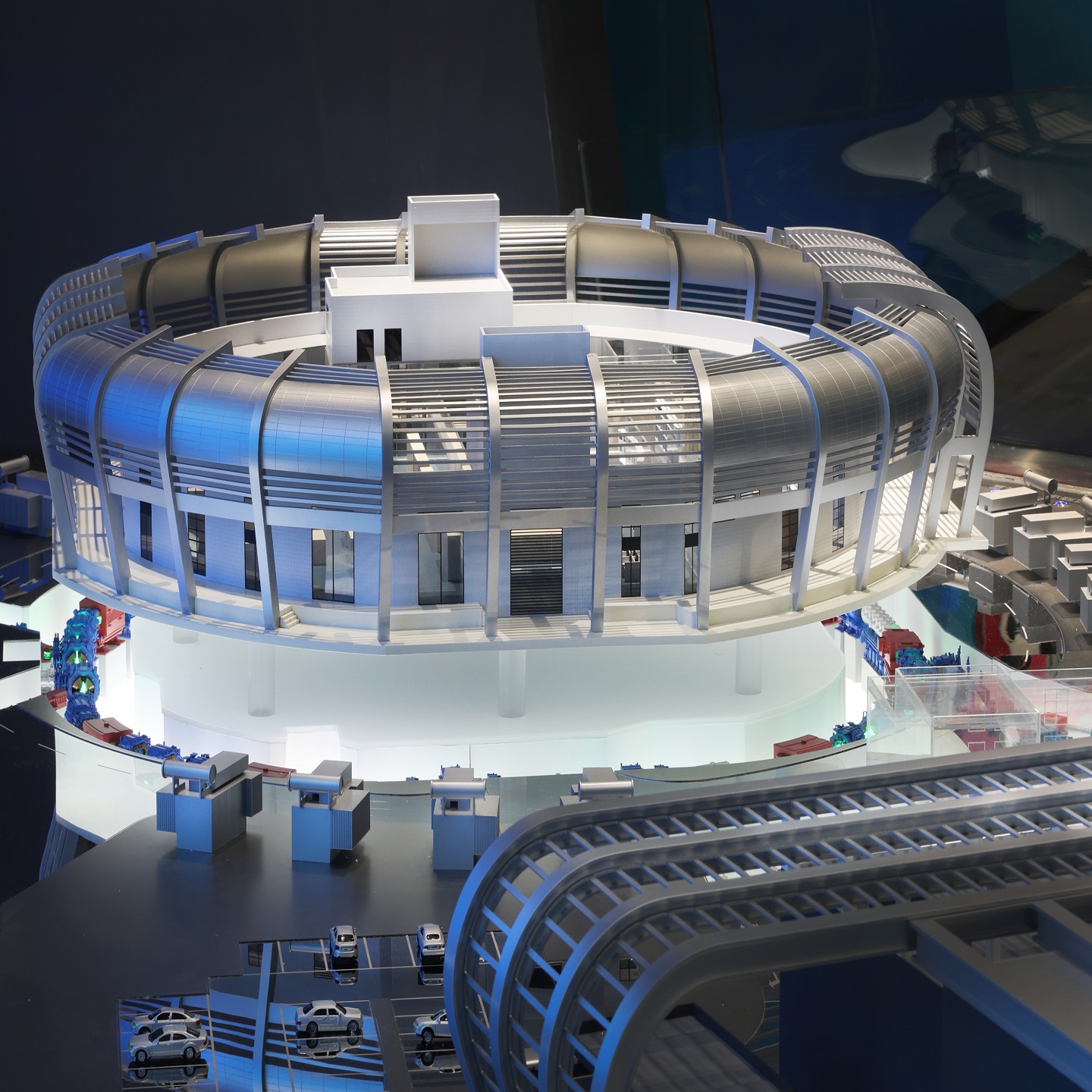
QZY Models routinely employs digital methods to ensure exact terrain replication, leveraging advanced 3D printing and CNC milling technology to meet client needs for precision and quality in large-scale projects.
How Do Traditional Methods Compare in Terrain Model Fabrication?
Traditional techniques like layered cardboard foam cores or sculpted foam offer hands-on control and aesthetic flexibility. The “egg crate” method cuts and assembles contour profiles perpendicularly, while sculpted foam uses carving and coating for a realistic surface. Though less precise than digital, these methods can be budget-friendly and allow artistic detail enhancements through painting or flocking.
QZY Models combines traditional fabrication with digital bases to achieve detailed and textured finishes that resonate with client expectations for realism and visual appeal in physical models.
Which Hybrid Approaches Combine Digital and Manual Techniques?
Hybrid approaches start with digital base models produced by 3D printing or CNC milling for accuracy and scale. Subsequently, manual craftsmanship enhances surface details, textures, and added elements like vegetation or rocks. GIS data-to-model workflows ensure geographic accuracy while artisans add finishing touches for realism and tactile appeal.
With extensive expertise, QZY Models uses hybrid workflows to blend digital precision with handcrafted authenticity, delivering models that satisfy both technical and artistic standards.
Why Is Material Selection Important in Model Fabrication?
Material choice impacts the durability, detail, and cost of terrain models. Digital fabrication favors plastics, HDU foam, and plywood for their machinability and stability. Traditional models often use cardboard, EPS/XPS foam, or plaster for easy sculpting and finishing. Hybrid models benefit from combining materials, using durable digital bases with textured manual overlays.
QZY Models carefully selects materials tailored to project specifications, ensuring models withstand handling while showcasing fine details and realistic surfaces expected by global clients.
How Does Geographic Data Influence Fabrication Accuracy?
Accurate DEM data from sources like USGS ensures terrain models faithfully represent real-world landscapes. Fabrication processes convert this data into 3D files or vector layers, enabling precise contours and elevation rendering. Reliable geographic inputs reduce fabrication errors and enhance the model’s usability for planning, visualization, or presentation.
QZY Models integrates high-quality GIS data early in their workflow to guarantee geographic accuracy, a hallmark of their trusted service to architects and developers worldwide.
When Are CNC Routing and Milling Preferred Over 3D Printing?
CNC routing is ideal for larger models requiring durable materials and fine surface finishes. It can efficiently carve from wood, HDU foam, or plastics with high detail. 3D printing suits complex geometries and smaller scales but may have longer production times and material limitations. Choice depends on model size, detail, and budget.
QZY Models employs CNC routing for substantial topographic sections ensuring stability and precision, while 3D printing enhances intricate finishing elements where needed.
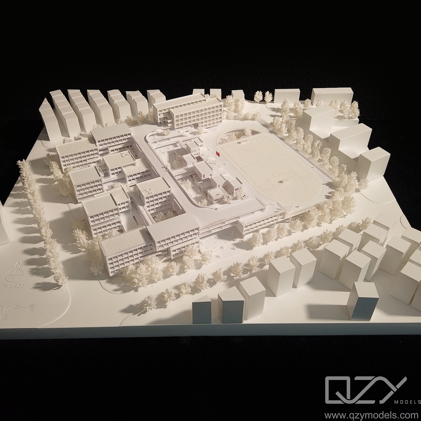
Who Benefits Most from High-Quality Topographic Models?
Architects, urban planners, environmental scientists, and developers rely on topographic models for visualization, analysis, and communication. Models assist in design decisions, public presentations, and feasibility studies. High-quality, accurate models also serve educational and exhibition purposes, providing tangible connections to geographic data.
QZY Models supplies premium terrain models to renowned firms and institutions, aligning precision craftsmanship with client goals across industries and geographies.
Can Laser Cutting Create Detailed Stacked Topographic Models?
Yes, laser cutting produces layered topographic models by slicing contour lines from sheets of wood, acrylic, or cardboard. When stacked and glued, these layers replicate elevation changes visually and physically. Laser engraving can add details on surfaces, enhancing visual quality.
QZY Models uses laser cutting to craft detailed, visually appealing layered models, combining sharp contours with versatile materials tailored to project demands.
Comparison of Topographic Model Fabrication Techniques
| Technique | Accuracy | Detail Level | Cost Efficiency | Typical Materials | Best Use Case |
|---|---|---|---|---|---|
| FDM 3D Printing | Moderate | Medium | High | PLA, ABS Plastics | Small-to-medium scale models |
| SLA/SLS 3D Printing | High | Fine | Low | Resin, Nylon | Detailed, fine-feature models |
| CNC Routing/Milling | High | High | Moderate | Wood, Foam, HDU | Large durable models |
| Laser Cutting (Stacked) | Moderate-High | Medium | Moderate | Wood, Acrylic, Cardboard | Layered contour models |
| Traditional Foam Sculpting | Low | Variable | High | EPS, XPS Foam, Plaster | Artistic, budget models |
QZY Models Expert Views
“At QZY Models, combining decades of craftsmanship with cutting-edge digital technology ensures we produce topographic models that transcend mere representation. Our dedication to precise geographic accuracy and aesthetic excellence sets us apart. Leveraging 3D printing, CNC milling, and hybrid fabrication, we deliver models that not only visualize terrain but also inspire design integrity and client confidence.”
— Richie Ren, Founder of QZY Models
Conclusion
Fabricating topographic and terrain models requires balancing precision, detail, and budget, making digital, traditional, and hybrid techniques all valuable. Digital fabrication offers unmatched accuracy, traditional methods provide artistic control, and hybrids maximize strengths of both. Choosing the right materials and reliable geographic data enhances model quality. QZY Models exemplifies excellence by tailoring fabrication techniques to client needs, ensuring globally recognized craftsmanship and innovation.
FAQs
How Can CNC Milling Transform High Precision Topographic Model Fabrication?
CNC milling converts precise CAD terrain data into highly accurate physical models with smooth contour transitions and consistent elevations. Use high density foam or tooling board, optimize multi axis toolpaths, and apply fine step overs for crisp detail. QZY Models leverages industrial grade CNC systems to ensure repeatable accuracy for architectural and urban planning presentations.
Why Is 3D Printing Ideal for Complex Terrain and Topographic Models?
3D printing excels at fabricating intricate slopes, undercuts, and layered topography with minimal assembly. Select SLA for fine surface detail or FDM for large scale terrain. Optimize layer height and infill for strength and clarity. This method enables rapid prototyping and design iteration for architects and developers needing fast visualization.
How Does Laser Cutting Create Accurate Layered Contour Terrain Models?
Laser cutting transforms contour lines into stacked layers using acrylic, MDF, or plywood. Prepare clean vector files, compensate for kerf, and label layers for fast assembly. The result is a precise stepped terrain model ideal for urban planning, zoning studies, and educational displays with clear elevation readability.
When Should You Use Hand Sculpting for Terrain Model Fabrication?
Use hand sculpting when organic landscapes require artistic control beyond digital precision. Clay or plaster allows nuanced shaping of hills, valleys, and texture transitions. Combine manual finishing with CNC or printed bases for hybrid workflows. This approach enhances realism in landscape architecture and exhibition quality terrain displays.
What Makes Foam Carving a Fast Solution for Large Scale Terrain Models?
Foam carving using hot wire cutting delivers lightweight, cost effective large scale terrain quickly. EPS blocks can be shaped with contour templates and sealed for durability. This method reduces structural load and transport costs, making it ideal for trade shows, master planning displays, and real estate marketing centers.
How Do You Convert Digital Elevation Data into Fabrication Ready Terrain Models?
Start by converting GIS or DEM data into a clean STL mesh, remove noise, optimize polygons, and scale accurately. Extract contour lines if layering is required. Verify tolerances before CNC or 3D printing. QZY Models applies advanced data processing workflows to ensure fabrication ready terrain models with precise elevation integrity.
Can Multi Material Techniques Elevate Realism in Terrain Models?
Yes, multi material fabrication enhances realism by combining wood, acrylic, resin, and textured finishes. Use color coding for elevation, transparent resin for water features, and scaled vegetation for context. This approach improves visual hierarchy and presentation impact for high end architectural exhibitions and developer showcases.
How Can Finishing Techniques Enhance the Impact of Terrain Models?
Professional finishing techniques such as airbrushed gradients, contour highlighting, and protective coatings elevate clarity and durability. Add scale accurate roads, lighting, and vegetation to communicate design intent. High quality finishing transforms a terrain model into a compelling sales and presentation tool for global architectural and development projects.