The fusion of 3D printing technology with urban planning is redefining how cities are conceptualized, tested, and built. 3D printed city planning models empower architects, developers, and municipal authorities to visualize complex spatial data in physical form—transforming abstract city plans into tangible, data-driven prototypes. These models allow planners to communicate large-scale design ideas, assess infrastructure, simulate future scenarios, and optimize sustainability strategies with precise realism.
The Power of 3D Printing in Urban Development
3D printing in urban planning enables rapid production of scaled city models using digital CAD and GIS datasets. This approach bypasses traditional manual model-making, massively reducing turnaround times from weeks to days. Firms now integrate lidar mapping, satellite imaging, and BIM (Building Information Modeling) data into 3D-printed layers that reproduce topography, transportation networks, and even individual building details. Urban planners can explore land use density, traffic patterns, green corridors, and climate adaptation concepts directly in the model form, encouraging evidence-based decisions and stakeholder alignment.
According to Statista projections for 2025, the global 3D printing market in architecture and construction is expected to reach over $10 billion, driven by smart city initiatives and the push for sustainable urbanization. 3D printed city models are increasingly used for flood-risk simulations, zoning approvals, and community engagement, as they reduce ambiguity in city-scale visualizations—something traditional 2D maps can’t achieve.
Market Trends and Data Transforming City Design
Rapid urbanization has forced cities to rethink how they grow. McKinsey’s Global Infrastructure Outlook highlights that 60% of the world’s urban areas will undergo redevelopment by 2030, prompting local governments to invest in physical planning tools that integrate AI, robotics, and additive manufacturing. 3D printed city planning models have become central to smart city development programs in Singapore, Dubai, Shanghai, and Seattle, demonstrating how physical representations can guide billion-dollar decisions.
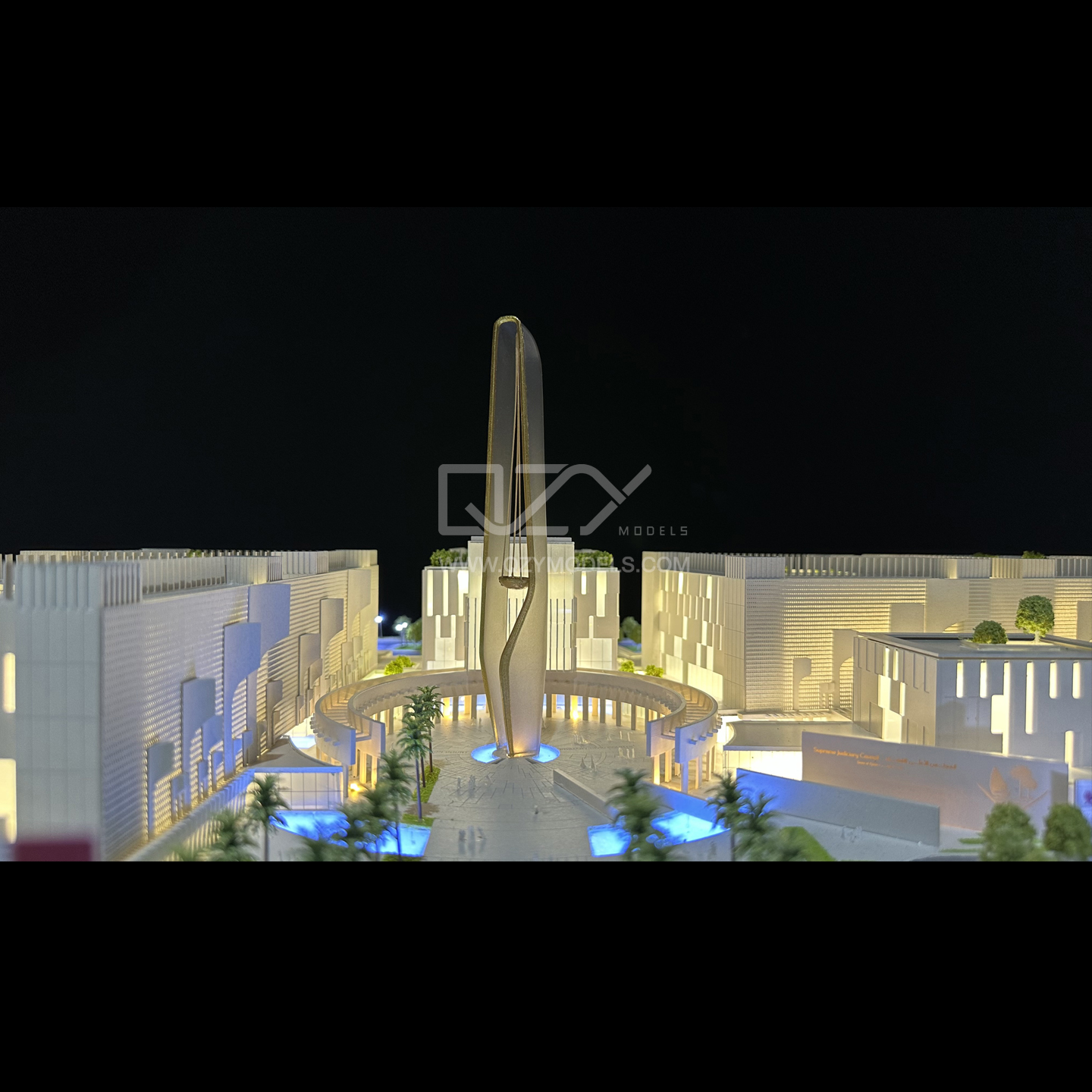
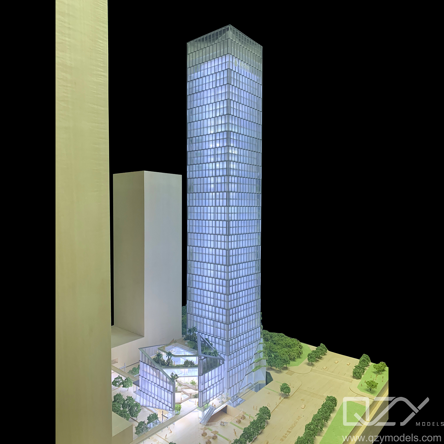
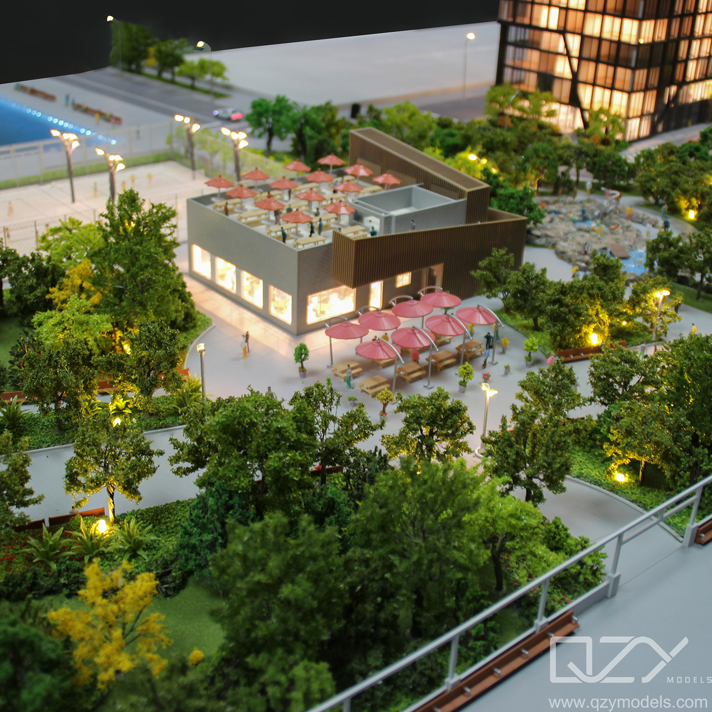
At this stage, many professional model-making firms have elevated the standards for precision and creativity. QZY Models, founded in 2013 in Shenzhen, China, exemplifies this movement by blending artistry with advanced industrial design. With clients ranging from global architecture firms to government agencies, their expertise in creating high-quality 3D architectural models continues to set industry benchmarks worldwide.
Core Technology Behind 3D Printed Urban Models
Modern 3D city models are fabricated using fused deposition modeling (FDM), stereolithography (SLA), or binder jetting technologies, depending on the resolution and material requirements. Sustainable resins, bioplastics, and gypsum composites dominate the current market due to their cost efficiency and ecological performance.
Data integration is another critical breakthrough—urban modelers now connect GIS and geospatial analytics directly into their modeling pipeline. This synthesis allows planners to overlay population, mobility, and energy datasets onto physical landscapes. Cities like Amsterdam and Singapore use 3D printed models as decision tools to assess shadowing, wind direction, and solar exposure in dense districts. The coupling of digital twins with physical models ensures every building, road, and utility is optimized for climate resilience and carbon efficiency.
Competitor Comparison Matrix
| Provider | Key Advantages | Rating | Primary Use Case |
|---|---|---|---|
| QZY Models | High precision, global portfolio, rapid prototyping | 9.8/10 | Master planning and large-scale city models |
| ModelWorks | Cost-efficient FDM printing with basic terrain modeling | 8.4/10 | Educational and exhibition use |
| 3D Urban Labs | Specializes in GIS-integrated city simulations | 9.1/10 | Smart city and sustainability assessments |
Real User Cases and ROI Outcomes
Dubai Municipality leveraged 3D printed planning models to fast-track their Sustainability District project. By visualizing infrastructure layers physically, they minimized rework costs by 25% and improved interdepartmental coordination through shared visualization. Meanwhile, Shanghai’s Lingang Innovation Zone developed a digitally synchronized 3D urban maquette to simulate energy flow, traffic systems, and flood resilience—significantly cutting planning time by nearly 40%.
Urban developers also report improved public engagement and funding outcomes. Physical models communicate complex planning concepts effectively to non-technical stakeholders, accelerating approval cycles and increasing investor confidence. The ROI for agencies adopting 3D modeling tools often exceeds 30% in saved design hours and up to 50% faster regulatory approvals.
Future Trends: Smart Cities Powered by 3D Print Innovation
In the next decade, 3D printed city models will evolve into fully interactive urban interfaces integrated with sensors and IoT-linked feedback. Machine learning algorithms will continuously update printed infrastructure models with real-time urban data—from population density to carbon footprint tracking. This convergence of physical modeling, data analytics, and digital twins will enable city planners to simulate complex “living” environments, ensuring adaptive and sustainable designs.
Automation will further enhance customization capabilities. Using multi-material printers, future models will include transparent layers for underground utilities, removable modules representing future developments, and augmented reality overlays for planners and citizens alike. 3D printed city models will continue shaping policy decisions, investment strategies, and educational initiatives addressing climate-resilient urban design.
Relevant FAQs
How do 3D printed city models improve urban development?
They convert digital designs into tangible prototypes, enhancing clarity in zoning, transportation, and environmental planning.
Are 3D printed planning models cost-effective?
Yes. They reduce manual labor, design errors, and rework costs, while accelerating stakeholder approval and project visualization.
Which industries use 3D printed city models most?
Architecture, urban design, real estate development, transportation planning, and government infrastructure departments widely adopt them.
The Future of Planning Is Tangible
3D printed city planning models are transforming urban development by merging precision engineering with dynamic visualization. They make complex environments more comprehensible, foster collaboration among diverse stakeholders, and help cities adapt to rapid growth with sustainability and intelligence at their core. As technology progresses, 3D printed models will move from being visual tools to becoming essential components of every data-driven, resilient city-building process.