Visualizing Movement, Capacity, and Infrastructure in Complex Trade Environments
Introduction: Where Scale and Movement Define the Project
Port and logistics developments are not defined by architecture alone. Their success depends on how efficiently movement is handled—of containers, vehicles, vessels, and goods across multiple interconnected systems.
On paper, these systems are described through masterplans, transport diagrams, and operational data. Digitally, they are simulated and optimized. But when it comes to presenting the full picture—how land, sea, and infrastructure interact—these formats often become fragmented.
A port and logistics scale model brings these layers together into a single, readable system. It allows stakeholders to see not just what is being built, but how it will function under real operational conditions.

Reading the Port as a System, Not a Site
Unlike typical architectural developments, ports operate as continuous systems. A vessel arriving at berth triggers a sequence: docking, unloading, container transfer, yard storage, customs processing, and inland distribution.
In drawings, these stages are separated—handled across different documents and disciplines. In a physical model, they can be read as a continuous flow.
The alignment of berths, the spacing of quay cranes, and the depth of the apron immediately begin to make sense in relation to container yards behind them. The distance between ship-side operations and storage zones becomes visible, allowing teams to assess whether movement is efficient or unnecessarily extended.
This is particularly important in high-throughput terminals, where even minor inefficiencies scale into operational delays.

Container Flow and Yard Logic
The container yard is often where the complexity of a logistics project becomes most apparent. It is not simply a storage area—it is a dynamic system involving stacking strategies, vehicle circulation, and equipment coordination.
A model allows these relationships to be studied spatially.
The orientation of container stacks, the width of lanes for straddle carriers or automated guided vehicles, and the positioning of transfer points can all be evaluated visually. It becomes easier to identify whether circulation paths are intuitive or forced, whether turning radii are practical, and whether operational zones overlap in ways that may cause conflict.
Rather than relying purely on layout dimensions, the model allows planners to assess how the yard will actually function under pressure.

Integrating Landside Logistics
A port does not end at the quay. Its efficiency depends heavily on how well it connects to inland transport systems—road, rail, and intermodal facilities.
In large-scale developments, this integration is often one of the most challenging aspects to communicate.
A physical model allows these transitions to be clearly understood. The relationship between terminal gates, truck holding areas, rail terminals, and highway connections becomes immediately visible. Bottlenecks that may not be obvious in plan drawings can emerge when seen in context.
For logistics hubs operating at scale, this clarity is essential. Delays at the interface between port and inland transport can negate efficiencies achieved within the terminal itself.
Equipment Representation and Operational Accuracy
Port and logistics models are not purely abstract. While buildings may be simplified, operational equipment is often represented with a higher level of specificity.
This includes:
Ship-to-shore cranes
Rubber-tyred gantry cranes (RTGs)
Rail-mounted gantry cranes (RMGs)
Reach stackers and terminal tractors
Bulk handling systems for non-containerized cargo
These elements are scaled and positioned carefully to reflect real operational spacing and movement envelopes. Their inclusion is not decorative—it allows stakeholders to understand how equipment interacts with infrastructure.
For example, crane spacing along a quay can indicate potential throughput capacity, while yard equipment positioning reveals how efficiently containers can be handled and transferred.

Water, Topography, and Marine Conditions
Ports are shaped not only by land planning but by marine conditions. Water depth, channel alignment, breakwaters, and shoreline configuration all influence how vessels approach and dock.
A well-executed model incorporates these elements with clarity.
Bathymetric changes may be represented through stepped or contoured surfaces. Navigation channels can be distinguished from surrounding water bodies. Breakwaters and protective structures define the operational limits of the port.
This allows stakeholders to evaluate how the port sits within its natural environment, and whether marine access is efficient and safe.
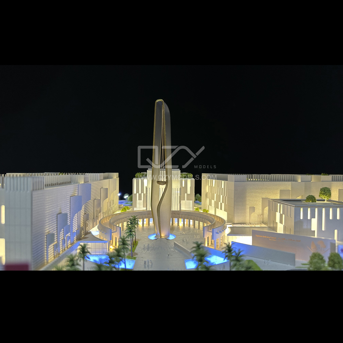
Built for Large-Scale Presentation and Mobility
Port and logistics models are often large, reflecting the scale of the projects they represent. This introduces practical challenges in fabrication, transport, and installation.
To address this, models are typically constructed in modular sections. Each section aligns precisely with adjacent components, allowing the full layout to be assembled on site without loss of accuracy.
For international presentations, these sections are packed into custom transport cases with internal protection designed around the model’s geometry. This ensures that detailed elements—such as cranes, vehicles, and fine structures—remain intact during transit.
In many cases, these models are used repeatedly across exhibitions, investor meetings, and planning reviews, making durability and reusability essential considerations.
Supporting Strategic Decisions, Not Just Presentation
While port and logistics models are often displayed in exhibitions and presentations, their primary value lies earlier in the process.
They support decisions related to:
Layout efficiency
Equipment allocation
Circulation and flow
Expansion potential
By making these aspects visible, the model allows teams to question assumptions and refine strategies before implementation.
This is particularly important in large infrastructure projects, where changes become significantly more difficult—and costly—once construction begins.

Conclusion: Making Trade Infrastructure Understandable
Port and logistics developments operate at a level of complexity where multiple systems must function seamlessly together. The challenge is not only designing these systems, but ensuring they are fully understood by everyone involved.
A well-crafted scale model brings clarity to that complexity. It allows stakeholders to see how vessels, equipment, infrastructure, and transport networks interact within a single framework.
In doing so, it turns a highly technical project into something that can be evaluated, discussed, and improved with confidence.
Because in logistics, efficiency is not just designed—it is understood.
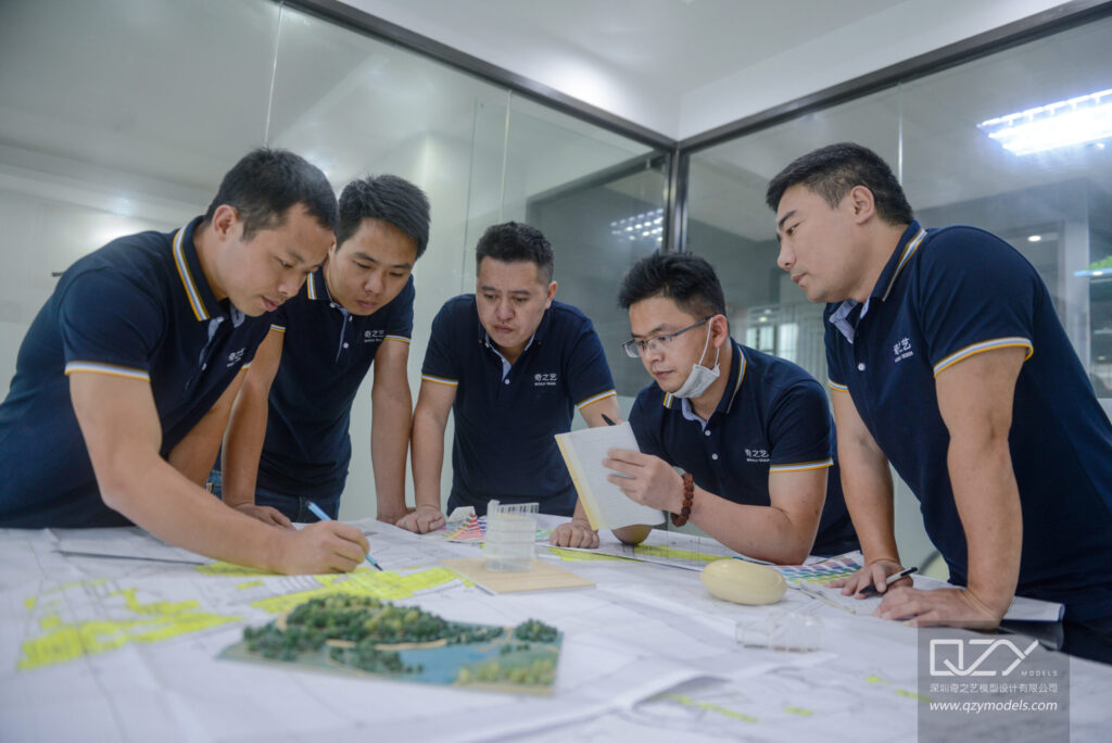
About QZY Models
QZY MODELS is a professional model-making company specializing in architectural scale models, industrial models, and urban planning models for global clients.
With more than 20 years of experience, the team provides complete services including:
architectural model design
model fabrication
international packaging and shipping
on-site installation support
These integrated services ensure that every model can be safely transported and efficiently presented anywhere in the world.
🌐 www.qzymodels.com
📧 [email protected]